
- kerTeX has now its own subdomain: http://kertex.kergis.com/.
What is KerGIS?
In all domains, including the geometrical one, information is the result of the joints between 3 steps :
- Acquisition.
- Processing.
- Usage.
The essential consistency of the whole stream implies to have a set of programs being a system, and not a random collection of processing, having neither the same domains of definition, nor the same assumptions or logics.
KerGIS is such a system, covering the 3 steps defined above, and handling the 3 kinds of geometrical data :
- Grid
- the data is gathered by scanning a zone, and consists of a matrix of same type values, each giving the characteristic for a defined area called a cell.
- Vectorial
- information about geometrical object, whether points, lines, faces or solids (solids are not supported at the moment).
- Sites
- ponctual informations, considered alone or forming a networking to drive the rectification of data in one of the 2 kinds described above.
Because an information system must allow to obtain informations from raw data, and must, in particular, allow to deduce geometrical properties, KerGIS is natively topological.
Finally, because one may want to associate non geometrical information to geometrical elements, KerGIS handles too attributes, stored under versatile kinds of data bases.
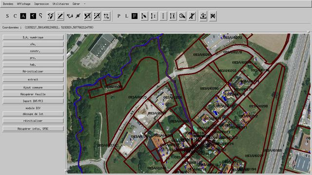
One way of using the information being viewing it, KerGIS allows to obtain a graphical representation of the informations, whether on screen or on hardcopy, thus providing what is generally associated with a Geographical Information System.
But KerGIS is more than just browsing through the results: it allows too and first! to create them!
Read more. (PDF, french, with screenshots.)
The Name Of The Game
KerGIS is aimed to be a GIS kernel, that is to provide a complete set of efficient core primitives (geometrical system calls) upon which one can build a dedicated application matching exactly a specialized GIS need.
Open source version
KerGIS started from the latest public version of G.R.A.S.S. published by U.S. Army C.E.R.L.
The first aim was to recover the logics driving G.R.A.S.S. while reorganizing the source code, making it compiles on current POSIX systems, fixing errors or bugs and providing the needed extensions in order to have a system immediately usable.
The published version is the result of this reconnaissance offensive d'ingénierie. The proprietary version is derived from these sources, and the knowledge gained and decisions taken during this phase.
The code is published under a BSD type licence, with a (practical) advertising clause, allowing anybody working according to the licence to create a derivative work, including a commercial one.